| 1844 Tithe Map of Winterbourne... |
Winterbourne Family History Online... |
|
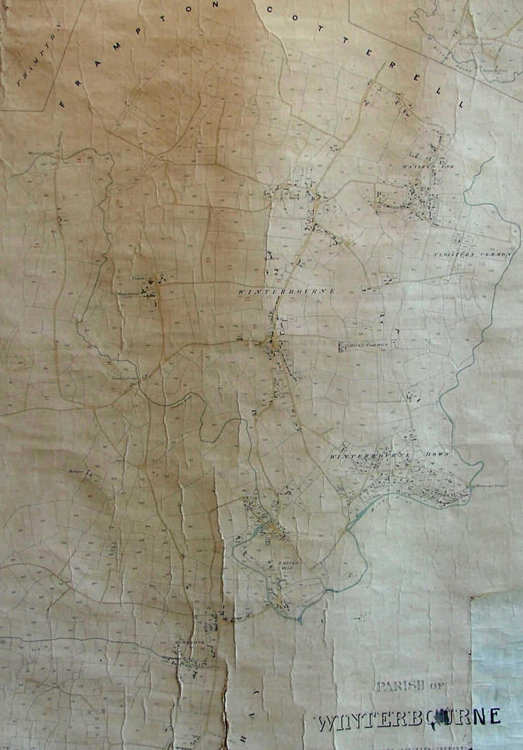 |
A list of Land Owners and Occupiers of 1844, can be read in the document entitled "Winterbourn Apportionment"... This document relates to the numbers seen on this set of maps, so you can work out who lived where in 1844!
See larger scale Maps...
North End - Swan Lane & Watley's End
St Michael's Church
High St, Winterbourne Hill & Dragon Rd
Winterbourne Down, Whiteshill Pye Corner
Hambrook |
|